The story of Scarborough from old maps by Chris Hall
Mapping the town
Our next talk is this Friday 17th January at 7.30 pm, in the committee room of the North Yorkshire Moors Park Authority offices.
All Welcome

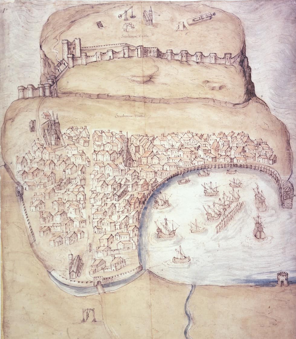
Mapping the town – the story of Scarborough from old maps by Chris Hall
Starting with the first ‘map’ of Scarborough of 1538 and progressing through 18th and 19th century maps, including a rare map of 1782, Chris Hall will show how we can see from these sources and associated views how Scarborough grew into the town we know today.

Chris was for about 25 years Scarborough Borough Council’s Building Conservation Officer and has also been researching the archaeology and history of the town for about 45 years, many of them as Scarborough Archaeological & Historical Society’s Field officer and has made extensive use of these sources.
